
Black Balsam Knob
Grassy balds and big skies above 6,000 feet
⏱ 1.5-3 hours👤 All agesFree
Get Tickets
Get Black Balsam Tickets
Skip the line · mobile tickets accepted at the door
The balds of this area owe their open character partly to history: logging and catastrophic fires in the early 20th century stripped the high ridges, and the grass-and-shrub balds that resulted have become one of the most beloved landscapes in the region. The Art Loeb Trail, which crosses the summit, runs some 30 miles through Pisgah National Forest and is one of North Carolina's great long trails; the stretch over Black Balsam and Tennent is its most famous.
Hike craft: arrive early (or on a weekday) to find parking along Black Balsam Road and to catch the clearest air; carry a wind shell and warm layer even in summer; stay on the main trail to limit erosion; and check the forecast — lightning on an exposed bald is a serious hazard. For a longer day, continue to Tennent Mountain and return, or combine with the Graveyard Fields waterfalls a few miles back up the Parkway.
Practicals and fit: Blue Ridge Parkway milepost 420.2, then about 0.7 mile on Black Balsam Road; roughly an hour from Asheville. Free, no facilities at the trailhead. Check the NPS Parkway road-status page before driving, especially from late fall through spring. Fit: outdoors lovers, couples, sturdy families and first-timers.
What to Expect
Format
A free, moderate hike from a Parkway side road onto an open grassy bald above 6,000 feet: about two miles round trip with roughly 400 feet of gain, with options to extend along the Art Loeb Trail.
Best Time
Clear mornings for views and parking; late summer for blueberries; October for color. Avoid stormy days — the summit is fully exposed.
Duration
About 1.5 hours for the summit out-and-back; three or more to continue to Tennent Mountain.
Tips
Arrive early and park only where permitted on Black Balsam Road. Bring wind and rain layers. Stay on the main trail. Check the Parkway road status — high-elevation sections close for ice in winter.
⚡ Quick Picks
Best For
The most memorable short summit hike near Asheville.
Families
Good for sure-footed kids — short, but rocky and very exposed to wind.
Couples
A sunrise or sunset on the bald is unforgettable.
Pair With
Graveyard Fields waterfalls on the Parkway, or the Cradle of Forestry via US 276.
Time Needed
Half a day with the drive.
Ready to book Black Balsam?
Get Tickets →Frequently Asked Questions
Can I reach Black Balsam after Hurricane Helene?
Yes. The NPS restored continuous Parkway access from Asheville (milepost 382) to Cherokee in August 2025, which includes the Black Balsam turnoff at milepost 420. Check the road-status page before driving, especially in winter.
How hard is the hike?
Moderate. It is about two miles round trip with about 400 feet of elevation gain, on rocky, eroded tread.
Where do I park?
Along Black Balsam Road, about 0.7 mile off the Parkway at milepost 420.2. Spaces fill early on weekends, especially in fall.
What should I bring?
Wind and rain layers, water and good shoes. The bald has no shade or shelter and is much colder and windier than Asheville.
Is it good for sunrise or sunset?
Yes — the open summit offers 360-degree views, but bring a headlamp and watch the weather.
More Asheville Attractions
Browse all →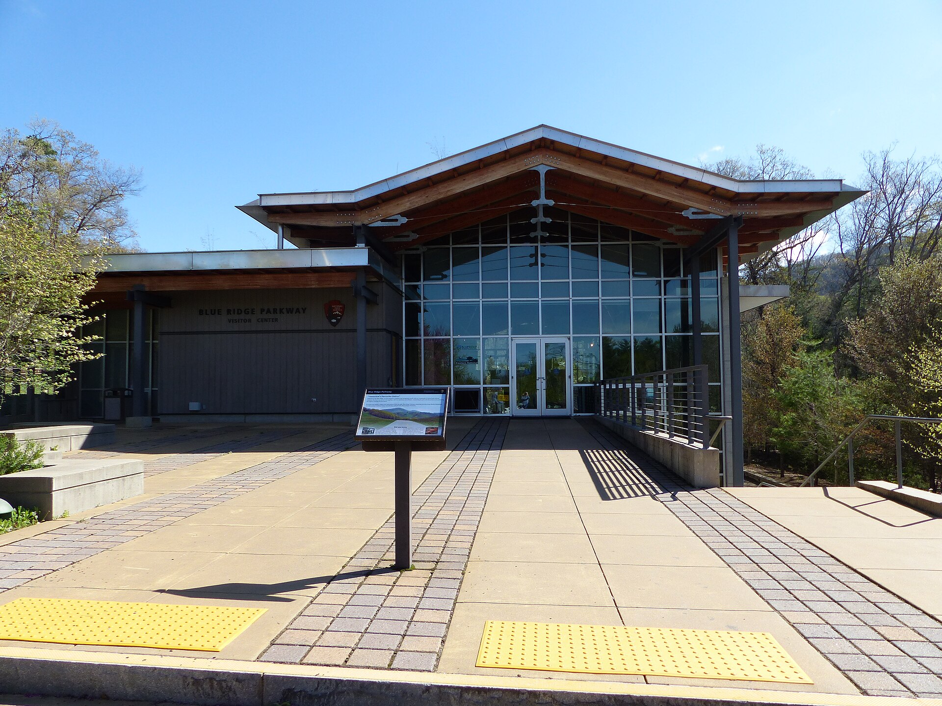
Blue Ridge Parkway
"America's Favorite Drive" — a stunning scenic parkway winding along the crest of the Blue Ridge Mountains right past Asheville, with endless overlooks, hiking trails, waterfalls, and jaw-dropping fall foliage. Free.
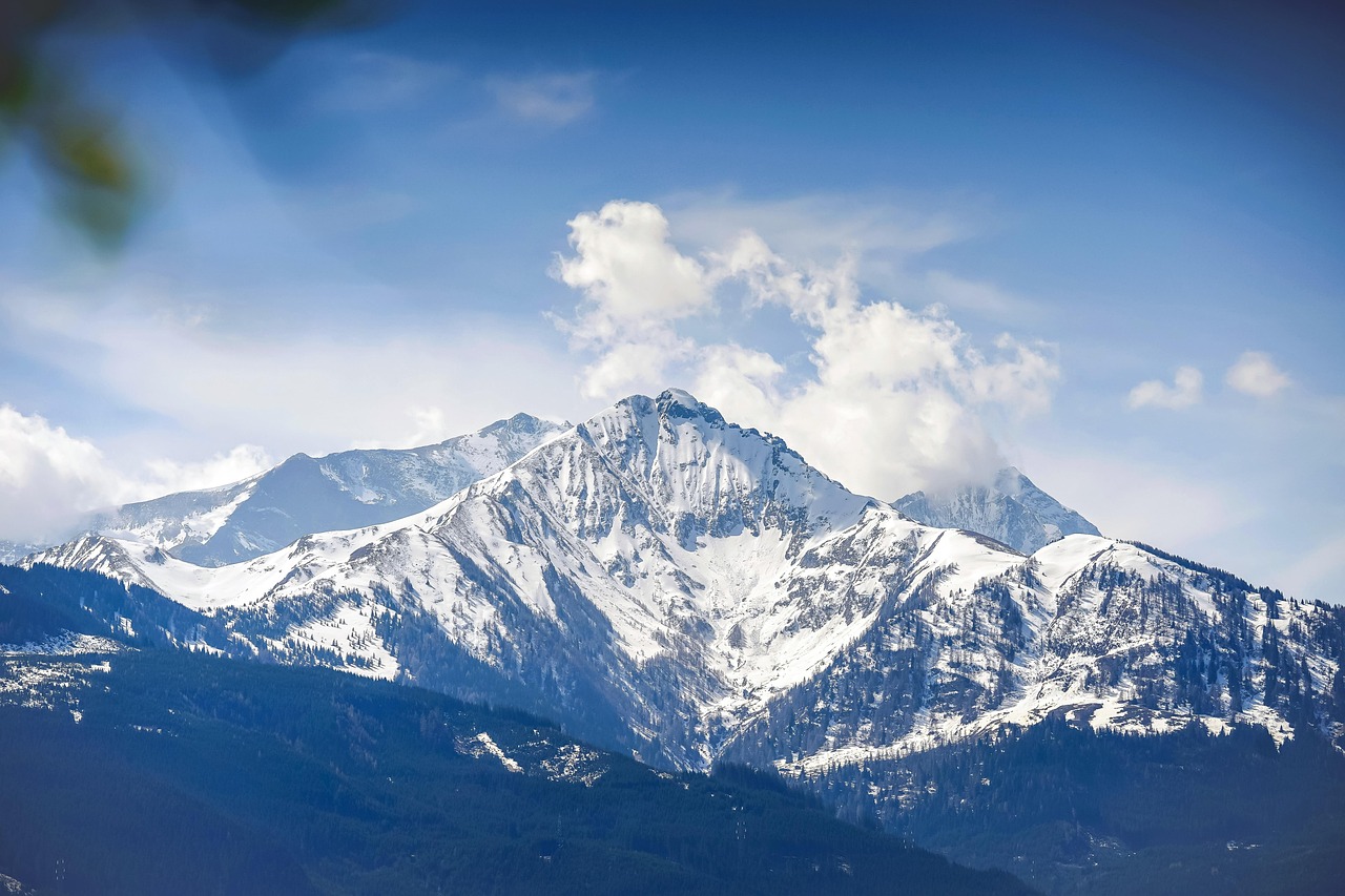
Blue Ridge Waterfalls & Forest Hikes
The mountains around Asheville are laced with spectacular waterfalls and forest trails — from roadside Looking Glass Falls to the photogenic cascades of DuPont State Forest (a film-famous landscape). Free, scenic, and endless.
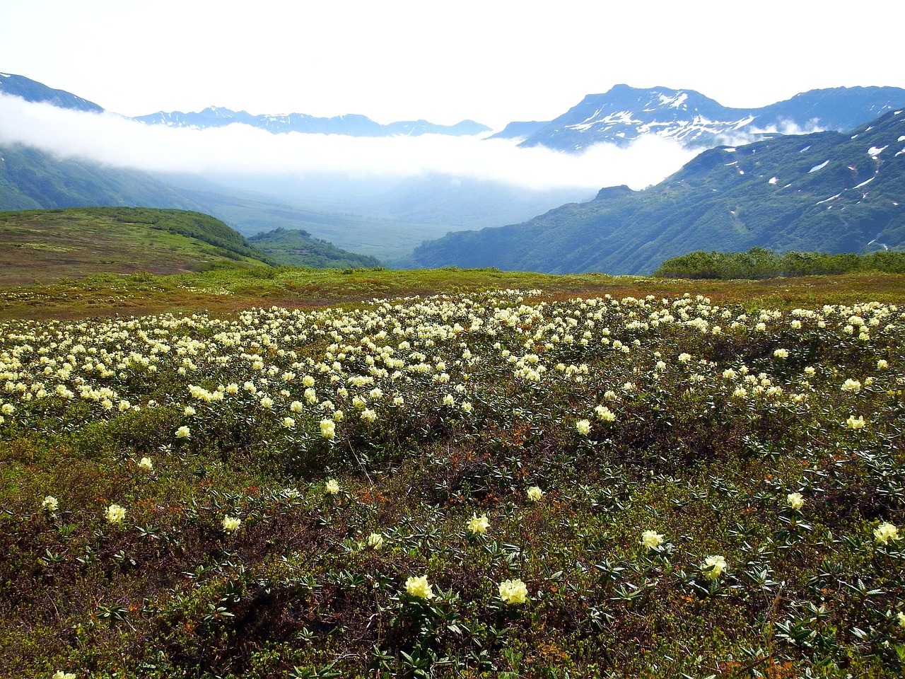
Craggy Gardens
Wind-sculpted heath balds and rhododendron tunnels at more than 5,000 feet, a short scramble from the Blue Ridge Parkway — the closest big-view hike to Asheville, reopened in 2025 after Helene.